
Geospatial Solutions
Precision Technologies Working Together
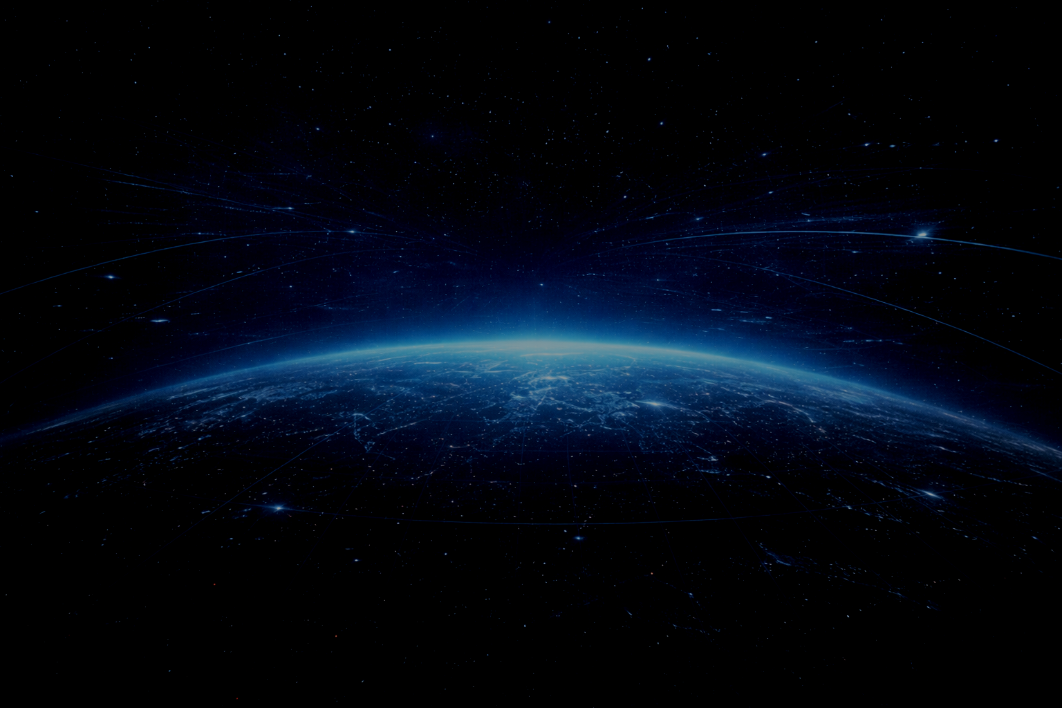
GVL designs geospatial systems that measure where things are and how they move over time. Ground deformation, structural strain, and environmental change rarely happen all at once. They build slowly—often unnoticed—until the consequences are expensive or dangerous.
See ground movement before it becomes a problem
GVL helps organisations detect those changes early using InSAR monitoring and high-precision RTK GNSS. Our solutions turn satellite data into clear, actionable insight so you can manage risk, protect assets, and plan with confidence.
Our technology supports:
By combining millimetre-level InSAR monitoring with centimetre-level GNSS positioning, we provide reliable data that supports real operational decisions.
High-Precision Positioning with GVL Fix One
The GVL Fix One is a compact, high-performance GNSS receiver delivering reliable centimetre-level positioning for demanding applications.
Designed for ease of integration and consistent performance, it supports dual-band, multi-constellation GNSS and RTK positioning.
Find out more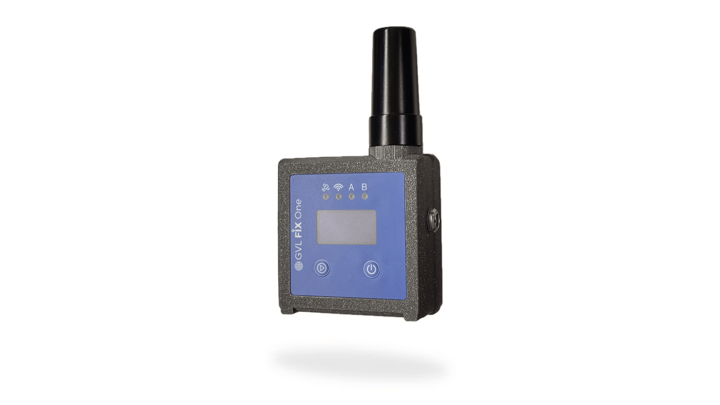
Flexible GNSS Positioning with GVL Tracker
The GVL Tracker is a flexible and cost-effective geospatial platform built for integration. It operates as both a base station and rover.
Its adaptable design allows seamless incorporation into client systems, supporting a wide range of tracking, monitoring, and control applications.
Find out moreCentimetre-Accurate Geofencing with GVL Geofencing Kit
GVL’s geofencing solution delivers precise, real-time boundary enforcement using RTK GNSS technology with 1–2 cm accuracy.
The GNSS antenna defines the protected area, while the GVL receiver ensures accurate, continuous tracking—making it suitable for security, safety, and asset protection in demanding environments.
Find out more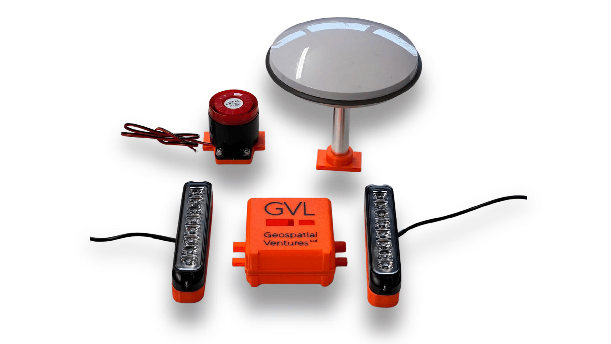
Our team can help define the right approach—whether you need InSAR monitoring, RTK GNSS positioning, or a combined system.